SL maritime boundary mapping program with Indian Navy
The second phase of Sri Lanka’s maritime boundary mapping program begins on 26 as a joint venture of the Sri Lanka Navy and the Indian Navy.
Media Coordinator for the SL Navy Commander Lankanatha Dissanayake stated that the measuring program of the second phase will continue till December 21 of 2017. He also stated that the southern and western coastal regions of Sri Lanka will be demarcated through the program.
The initial phase was conducted in May 2016, with the aid of an Indian naval vessel that assisted in the mapping process. It has been reported that the same vessel will be used for the second phase of the project.
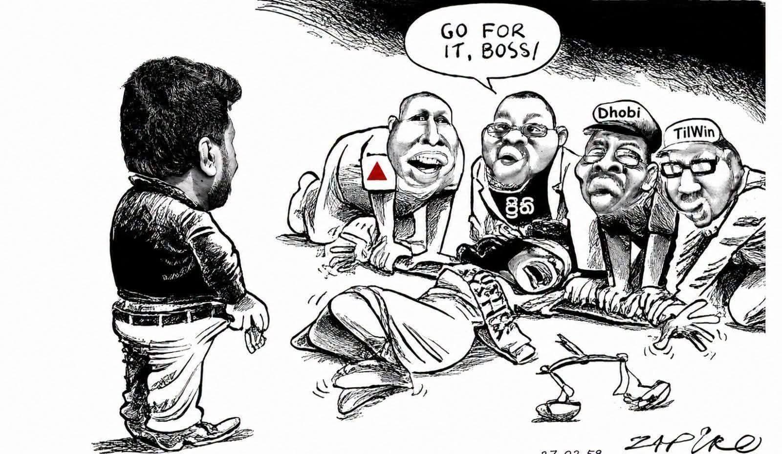
The public opinion on this boundary mapping is that Indians must have already worked out all to their advantages to set the maritime boundary in favour of India. The issue like illegal fishing in Northern and Eastern Sri Lankan Sea are critical and sensitive on this mapping as Indians cannot trust in any regional political and military sense. Sri Lankan leaders should have got the assistance of Russians or Chinese for this very sensitive sea mapping but Indians. The general consensus of Sri Lankan public is that India will tweak the maritime boundary of Sri Lanka as they please.
Unconfirmed sources reported that Navy Commander Travis Sinniah had been replaced just two months after of his appointment as he was against the involvement of Indians in this maritime mapping exercise and recent purchasing of navy ship deal by the President.
491 Viewers